
Canada
Country-level data
Overview
Everything measured for this country, at a glance.
Canada
CA
Ottawa41 651 653 people15 634 410 km²CAD
Head of state Charles III
Head of government Mark Carney
Background
Canada is a country in North America. Its ten provinces and three territories extend from the Atlantic Ocean to the Pacific Ocean and northward into the Arctic Ocean, making it the second-largest country by total area, with the longest coastline of any country. Its border with the United States is the longest international land border. The country is characterized by a wide range of both meteorologic and geological regions. With a population of over 41 million, it has widely varying population densities, with the majority residing in its urban areas and large areas being sparsely populated. Its capital is Ottawa and its three largest metropolitan areas are Toronto, Montreal, and Vancouver.
- EarthquakesM 2.4 - 42 km WNW of Hérouxville, Canada
- Weather / flood alertsWildfire Range 47B, Forrest, Mississippi
- Fires56 hotspots detected in the last 48 hours · peak brightness 350K
Country & Institutions
Key facts, governance and practical references.
Country data
Essential facts
Public indicators
Emergency numbers4
- Emergencies (all services) — 911National numbers. Confirm with local authorities before travelling.
- Police — 911
- Ambulance — 911
Show 1 more
Wikidata
Upcoming public holidays4
- Armistice DayNovember 11
- Remembrance DayNovember 11
- Christmas DayDecember 25
Show 1 more
- Boxing DayDecember 26 · St. Stephen's Day
Nager.Date
Economy & Finance
Growth, prices, trade, currencies and official statistics.
Exchange rateOct 27, 2026
Economic outlook
Top exports
International trade
Companies
Crypto market
Society & Development
Population, health, education and employment.
Social indicators
Demographics
Universities9
Show 6 more
- Assumption University
- Athabasca University
- Augustana University College
- Bishop's University
- Bow Valley College
- … and 151 more institutions
Hipolabs
Employment by sector
- Employment in agriculture1.1%
- Employment in industry18.7%
- Employment in services80.1%
Climate & Environment
Weather, air quality, climate, fires and wildlife.
Fires1
NOAA NDBC40
- NDBC 41004Waves: 2.2 m
- NDBC 41008Wind: 10.0 m/s · Waves: 1.8 m
- NDBC 41013Waves: 1.9 m
Show 37 more
- NDBC 41025Wind: 7.0 m/s · Waves: 1.8 m
- NDBC 41029Wind: 9.0 m/s · Water: 19.9 °C
- NDBC 41033Wind: 6.0 m/s · Water: 20.0 °C
- NDBC 41038Wind: 7.0 m/s · Water: 20.6 °C
- NDBC 41048Wind: 12.0 m/s · Waves: 2.8 m
- NDBC 41064Wind: 9.0 m/s · Water: 22.6 °C
- NDBC 41065Waves: 1.0 m
- NDBC 41066Water: 20.9 °C
- NDBC 41067Waves: 1.2 m · Water: 19.8 °C
- NDBC 41069Wind: 8.0 m/s · Water: 24.1 °C
- NDBC 41070Waves: 2.6 m · Water: 24.1 °C
- NDBC 41076Waves: 1.7 m · Water: 20.9 °C
- NDBC 41082Wind: 6.0 m/s · Water: 18.1 °C
- NDBC 41083Wind: 6.0 m/s
- NDBC 41110Waves: 1.2 m · Water: 20.7 °C
- NDBC 41112Waves: 2.1 m · Water: 22.2 °C
- NDBC 41117Waves: 2.2 m · Water: 23.5 °C
- NDBC 41120Waves: 1.9 m · Water: 18.5 °C
- NDBC 41159Waves: 1.6 m · Water: 22.5 °C
- NDBC 42012Wind: 4.0 m/s · Water: 25.2 °C
- NDBC 42035Wind: 6.0 m/s · Waves: 0.9 m
- NDBC 42354Waves: 1.0 m · Water: 24.9 °C
- NDBC 42357Waves: 0.6 m · Water: 23.2 °C
- NDBC 44007Wind: 1.0 m/s · Water: 11.9 °C
- NDBC 44008Waves: 1.6 m
- NDBC 44009Wind: 7.0 m/s
- NDBC 44011Wind: 9.0 m/s · Waves: 2.2 m
- NDBC 44013Wind: 2.0 m/s · Waves: 0.9 m
- NDBC 44014Waves: 1.5 m
- NDBC 44020Wind: 5.0 m/s · Waves: 0.4 m
- NDBC 44027Waves: 0.7 m
- NDBC 44029Wind: 2.0 m/s
- NDBC 44030Wind: 2.0 m/s
- NDBC 44032Wind: 4.0 m/s
- NDBC 44033Wind: 3.0 m/s
- NDBC 44034Wind: 7.0 m/s
- NDBC 44037Wind: 6.0 m/s
NOAA NDBC
Climate and energy
Animals
Most observed


Near extinction


Fish
Most observed


Near extinction


Plants
Most observed


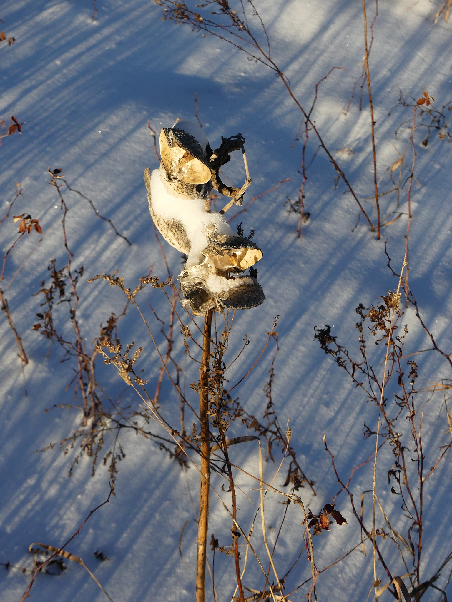
Near extinction


GBIF observations; threat status from the IUCN Red List (CR / EN / VU). Not a complete inventory.
Transport & Infrastructure
Ports, airports, shipping and international connectivity.
Ports & maritime transport40
- AlabasterUnited States
- AlbanyUnited States
- AlexandriaUnited States
Show 37 more
- Alexandria BayUnited States
- AlgomaUnited States
- AlgonacUnited States
- AlpenaUnited States
- AmherstburgCanada
- AnnapolisUnited States
- ApalachicolaUnited States
- AshlandUnited States
- AshtabulaUnited States
- Atlantic CityUnited States
- AugustaUnited States
- Au SableUnited States
- BaltimoreUnited States
- BangorUnited States
- BaragaUnited States
- Bar HarborUnited States
- BarnegatUnited States
- Bass HarborUnited States
- Batchawana BayCanada
- BathUnited States
- Baton RougeUnited States
- BayboroUnited States
- Bay CityUnited States
- BayfieldUnited States
- BayonneUnited States
- BaytownUnited States
- BaywayUnited States
- BeaufortUnited States
- BeaufortUnited States
- BeauharnoisCanada
- BeaumontUnited States
- BelfastUnited States
- BelhavenUnited States
- BellevilleCanada
- BeverlyUnited States
- BiloxiUnited States
- Blind RiverCanada
NGA World Port Index
Airports40
- John C. Munro Hamilton International AirportYHM · large_airport · Hamilton
- Halifax / Stanfield International AirportYHZ · large_airport · Halifax
- Ottawa Macdonald-Cartier International AirportYOW · large_airport · Ottawa
Show 37 more
- Quebec Jean Lesage International AirportYQB · large_airport · Quebec
- Windsor International AirportYQG · large_airport · Windsor
- Montreal / Pierre Elliott Trudeau International AirportYUL · large_airport · Montréal
- Winnipeg / James Armstrong Richardson International AirportYWG · large_airport · Winnipeg
- St. John's International AirportYYT · large_airport · St. John's
- Toronto Pearson International AirportYYZ · large_airport · Toronto
- Pourvoirie Joncas Airstripsmall_airport · Saint-Lazare
- Maxville Airportsmall_airport · Maxville
- Danville Airportsmall_airport · Val-des-Sources
- 1669 Diamondview Road Private Stripsmall_airport · Carp
- Saint-Bernard-de-Lacolle Airportsmall_airport · Saint-Bernard-de-Lacolle
- 1797 Diamondview Road Private Stripsmall_airport · Carp
- Casey (Camp de Base) Airportsmall_airport
- Navan Bearbrook Airportsmall_airport · Ottawa
- Greenbush Airportsmall_airport · Picton
- Pontiac Airparksmall_airport · Pontiac
- Kaskattama River Airstripsmall_airport · Kaska Goose Lodge
- Citadelle de Québec Heliportheliport · Quebec
- Manic 5 Heliportheliport · MRC Manicouagan
- Minaki Airportsmall_airport · Minaki
- Stevensville Seaplane Baseseaplane_base · Stevensville
- Orono / Hawkefield Aerodromesmall_airport · Clarington
- Saglek AirportYSV · small_airport · Saglek
- Tottenham/Ronan Aerodromesmall_airport · Tottenham
- Ullswater Airportsmall_airport · Ullswater
- Upper Kent Airportsmall_airport · Upper Kent
- Wiebenville Airportsmall_airport · Kenora District
- Milford "Heliport" (PPR)heliport · Prince Edward County
- Wingham (Inglis Field) Airportsmall_airport · Wingham
- Wrong Lake Airportsmall_airport
- Herb's Travel Plaza Airstripsmall_airport · Vankleek Hill
- Port Hope (Peter's Field) Airportsmall_airport · Port Hope
- Newtonville / Steeves Fieldsmall_airport
- Prince Edward County Hospital Heliportheliport · Picton
- WESCAM Burlingtonheliport · Burlington
- Little's Farmsmall_airport
- Brier Island Airstripsmall_airport · Westport
OurAirports · Public domain
International connectivity6
19 submarine cables · 2 more planned
Security & Risks
Earthquakes, alerts, hazards on the map and world attention.
World attention
- 18,287 readers a day (30-day average)
- +14 % against the previous 30 days
Sockets and voltage2
Signal map146
Legend
- Fires 56
- Earthquakes 14
- Aircraft 8
- Natural events 17
- Satellites (calculated) 11
- Buoys 40
- Medium
- Low
+136 more
NASA FIRMS · NOAA NDBC · CelesTrak / SGP4 · NASA EONET · USGS · EMSC · OpenSky Network
Travel & Local life
Places to see, travel advice, food and radio.
Places to see6
Travel advice & alerts6
- Latest updateAddition of information about entry requirements for those entering from Ebola-affected regions ('Entry requirements' page).
- Warnings and insuranceBefore you travel No travel can be guaranteed safe. Read all the advice in this guide. You may also find it helpful to: see general advice f…
- Entry requirementsThis information is for people travelling on a full ‘British citizen’ passport from the UK. It is based on the UK government’s understanding…
Show 3 more
- Safety and securityTerrorism There is a high threat of terrorist attack globally affecting UK interests and British nationals, including from groups and indivi…
- HealthBefore you travel, check that: your destination can provide the healthcare you may need you have appropriate travel insurance for local trea…
- Getting helpThe Foreign, Commonwealth & Development Office ( FCDO ) cannot provide tailored advice for individual trips. Read this travel advice and…
UK FCDO
Traveller's guide1
- CanadaCanada is the world's second largest country by area, behind only Russia. Nicknamed the Great White North, Canada is renowned for its vast landscapes of outstanding natural beauty and its multicultural heritage. While there are cosmopolitan cities, much of Canada consists of forests, it has more lakes than any other country and it features the Rocky Mountains, the Prairies, three oceanic coasts and a sparsely populated archipelago extending into the Arctic.
Live radio6
- # RdMix Classic Rock 70s 80s 90senglish
- Beats Radioenglish
- #100 BEST IBIZA DEEP HOUSEenglish
Show 3 more
- # 100 GREATEST HEAVY METALenglish
- # 70s 80s 90s RdMix Networkenglish
- AIRPORT LOUNGE RADIOenglish
Radio-Browser
At the table6
Science & Space
Daylight, flights overhead, satellites and space weather.
In the sky9
Satellites · CelesTrak11
- CSS (TIANHE)SGP4 · 388 km · epoch 2026-10-26T18:14:36.721536
- CSS (WENTIAN)SGP4 · 388 km · epoch 2026-10-26T18:14:36.721536
- CSS (MENGTIAN)SGP4 · 388 km · epoch 2026-10-26T18:14:36.721536
Show 8 more
- TIANZHOU-10SGP4 · 388 km · epoch 2026-10-26T18:14:36.721536
- SHENZHOU-23 (SZ-23)SGP4 · 388 km · epoch 2026-10-26T18:14:36.721536
- FENGYUN 3DSGP4 · 831 km · epoch 2026-10-27T06:52:33.453120
- TIANMU-1 19SGP4 · 474 km · epoch 2026-10-27T07:33:07.615872
- TIANMU-1 20SGP4 · 470 km · epoch 2026-10-27T07:33:39.253824
- SL-8 R/BSGP4 · 876 km · epoch 2026-10-27T05:03:26.891424
- SL-14 R/BSGP4 · 630 km · epoch 2026-10-27T02:34:16.494240
- COSMOS 1975SGP4 · 475 km · epoch 2026-10-27T06:13:32.230848
CelesTrak / SGP4
SatNOGS30
Show 27 more
- APN014460 observations
- Grove-UHF-0117754 observations
- W2MMD GCARC Clubhouse63660 observations
- Grove-UHF-022612 observations
- AB3DC - Detroit, MI2811 observations
- 52HancockSt8787 observations
- kc1fha21868 observations
- k8zk2849 observations
- KB4NKO - Jonesboro, VA, US UHF14949 observations
- KD5QZG - VHF/UHF10439 observations
- Valpo WIRED Lab 140356 observations
- Gray Eagle13485 observations
- VA2WBT - Montréal, Canada16283 observations
- bbn6567 observations
- Harvard-Smithsonian Center for Astrophysics28192 observations
- KC4LE 70cm Eggbeater9452 observations
- VE2DSK-VHF-UHF32260 observations
- Not Quite ESL11423 observations
- MAUSyagi125113 observations
- KU4YJ6546 observations
- Rhodes College8479 observations
- MTL (VHF)1321 observations
- N1ESK-Loudon13389 observations
- KC3QNJ2332 observations
- K9YO-UHF2547 observations
- K2PI38467 observations
- Roane State Tamke-Allan Observatory31 observations
SatNOGS · CC BY-SA 4.0
Recommended tools
A couple of travel-safety tools worth having.
Recommended tools
Digital safety


Flights


Mobile data


Trip extras


Job search


Partner links — we may earn a commission at no extra cost to you.
More
Everything else this report gathered.